
The role of the Sentinel-1A satellite in the aid to the flooded areas in the Balkans
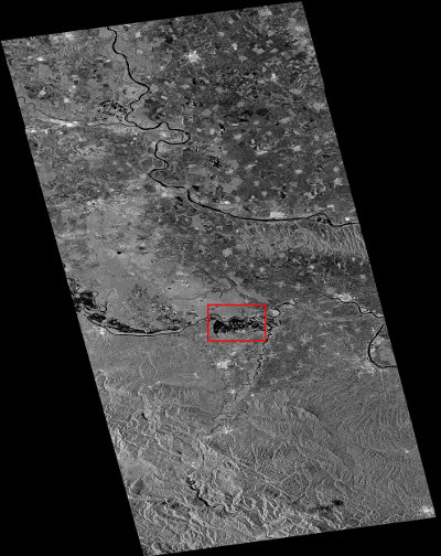
The Sentinel-1A satellite was launched on April 3 2014 and is still in its testing phase. However, it’s already been used to help coordinate aid in flooded areas. One of the first images of this satellite was used at the beginning of May to create a map of the flooded area in Namibia and now new images are used to create maps of the flooded areas in the Balkans.
