
The Sentinel-1A satellite was launched on April 3 2014 and is still in its testing phase. However, it’s already been used to help coordinate aid in flooded areas. One of the first images of this satellite was used at the beginning of May to create a map of the flooded area in Namibia and now new images are used to create maps of the flooded areas in the Balkans.
Satellites with sophisticated instruments such as the Sentinel-1A require several weeks for calibration, also because in this case it’s the first satellite of ESA’s GMES / Copernicus program, which aims to bring the territory survey to a level never seen before. However, the peoples struck by disasters such as the one that occurred in the Balkans, which hit Croatia, Serbia and Bosnia and Herzegovina, can’t wait.
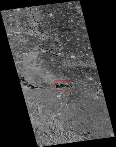
For many people who live in the areas affected by the recent floods it’s a matter of life or death so all the information is useful to save them and to understand where they can intervene to contain water flow. The radar of the Sentinel-1A satellite can detect data even in the presence of clouds and rain and during the night so it’s perfect for monitoring floods.
Although the data collected by the Sentinel-1A satellite can’t reach the maximum precision yet, they have proved very useful. They were integrated into the maps created by the Emergency Management Service (EMS) of the Copernicus program. In Bosnia and Herzegovina, a flooded area hadn’t been identified by other means yet but thanks to the Sentinel-1A local authorities have more information to figure out how to proceed with aid.
The maps created using data gathered by Sentinel-1A satellite are also used by the International Charter on Space and Major Disasters. It’s an international charter initiated by ESA in 1999 which is intended exactly to use data from various satellites in the event of disasters. In this case, the Russian authorities who are collaborating with the Serbians to bring aid to flooded areas are the ones who activated this charter.
Unfortunately, we can expect new floods in various parts of the world in the coming years. With more and more extreme climatic phenomena, territory survey is more and more important. In such a situation, satellites such as the Sentinels, to be launched in the coming years, are more and more important to help save many lives.
[ad name=”AmazonDocumentary”]

Permalink