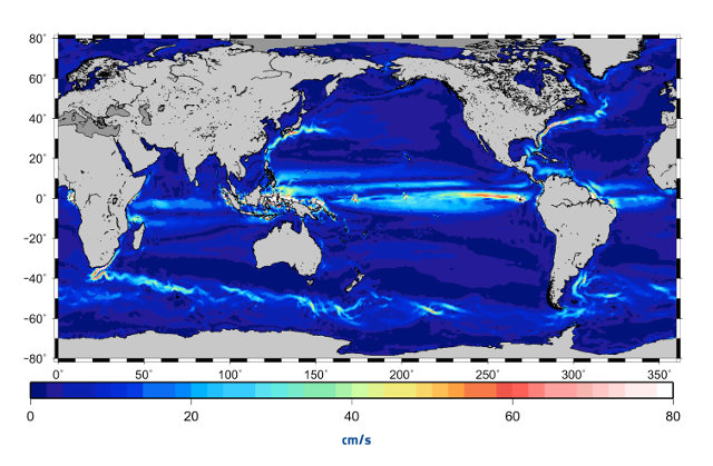
A new model of the ocean currents created thanks to the GOCE satellite
This week at the UNESCO headquarters in Paris, France, the 5th International GOCE User Workshop is being held. It aims to present and discuss the findings made by ESA’s GOCE (Gravity Field and Steady-State Ocean Circulation Explorer) satellite. In particular, there was a presentation of a new ocean currents model, the most accurate ever produced.

